map tools
Video training and map tools for getting the most out of using paper maps with GPS.
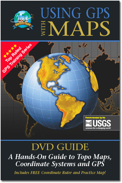
Using GPS with Maps Video
This DVD instructional kit takes you step-by-step through the basics of using a topographical map, latitude/longitude and the UTM coordinate systems, and shows you how to make your map and GPS work together to get the most out of any outdoor adventure. INCLUDES a Practice Map and Coordinate Ruler for plotting both lat/long and UTM coordinates with 1:24k topo maps (a $6.95 value as seen below). Topics
|
 |
1:24,000 Lat/Lon and UTM Coordinate Ruler
Exclusive slot design creates a 4-edged ruler that accurately measures positions in both coordinate systems on 1:24,0000 scale USGS maps. Units of measure include meters, miles, minutes-seconds and decimal minutes. This ruler is included with our Using GPS with Maps Instructional Video.
|
 |